
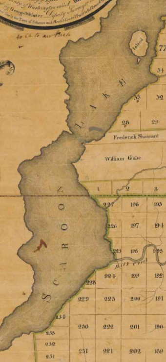
Scaroon Lake and Not Schroon Lake?
/
The year was 1803 when this first appeared in print, a fact we gleaned while noodling around the New York State Archives site.
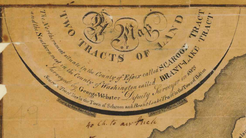
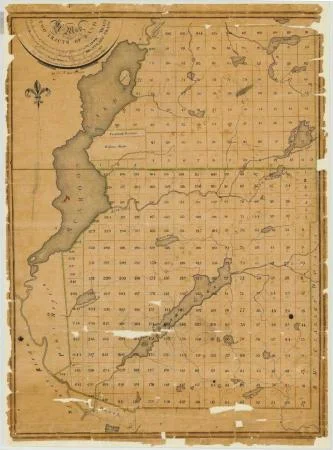
The headline reads: “Map of two tracts of land called Scaroon Tract and Brant Lake Track. Map #49
“Map of two tracts of land; the northernmost situated in the County of Essex, called Scaroon Tract, and the southernmost in the County of Washington called Brant Lake Tract. Surveyed by George Webster, Deputy surveyor in 1803, Copied by John Randel, Jr., Albany, 27 March, 1804.;The area is now known as Schroon Lake”
We are not sure of why this occurred, but that’s one heck of a major typo. Know more about this? Share it with us in comments.
More from the Archive Site:
Identifier: NYSA_A0273-78_49
Date: 1803 - 1804
Contributor: Webster, George (surveyor)
Language: English
Repository: New York State Archives
Source: New York State Archives. New York (State). State Engineer and Surveyor. Survey maps of lands in New York State, ca. 1711-1913. Series A0273-78, Map #49.